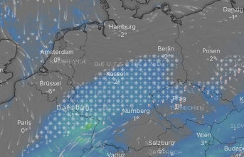

A storm front brings wind, rain and thunderstorms to Saarland and Rhineland-Palatinate. The gusts of wind will increase in strength from Friday afternoon, as reported by the German Weather Service (DWD). The gusts reach 55 kilometers per hour in the early morning and up to 95 kilometers per hour in the late afternoon. In the ridges, even hurricane-force gusts of up to 110 kilometers per hour are possible - with a low probability. In addition, there can be isolated thunderstorms during the day and sometimes heavy rain. The temperatures reach maximum values of up to 13 degrees.
According to the DWD, the wind weakened significantly during the night to Saturday. The rain also subsides or turns to snow in the Eifel and Westerwald. Therefore, it can also be slippery in some areas in the lowlands.
According to the DWD, the weather will remain calm for the weekend. On Saturday it will therefore probably be clear to cloudy and free of precipitation with temperatures of 5 to 7 degrees. Only a weak wind is blowing. In the second half of the night to Sunday, some snow can occasionally fall again. Due to the onset of precipitation and low temperatures of minus 1 to minus 5 degrees, however, there is a risk of ice.
Sunday itself will then be a bit uncomfortable again. Expect clouds, snow and rain. The daytime temperatures will reach between 9 and 12 degrees and there may be strong and occasionally stormy gusts again.
DWD forecast